Chonburi Province · Gulf of Thailand · Eastern Seaboard
Coastal
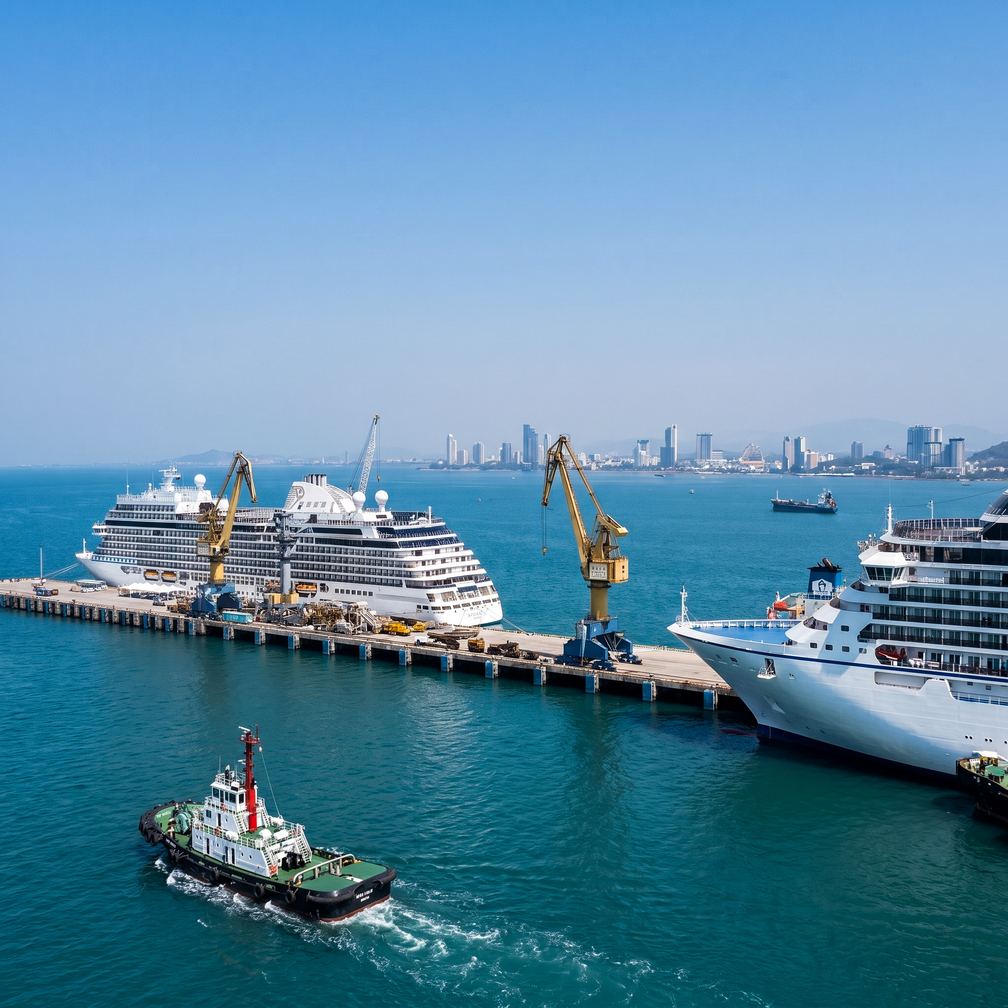
Chonburi.
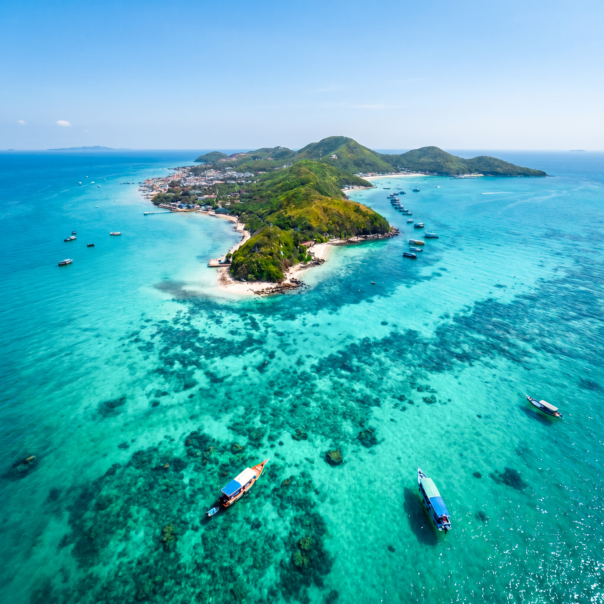
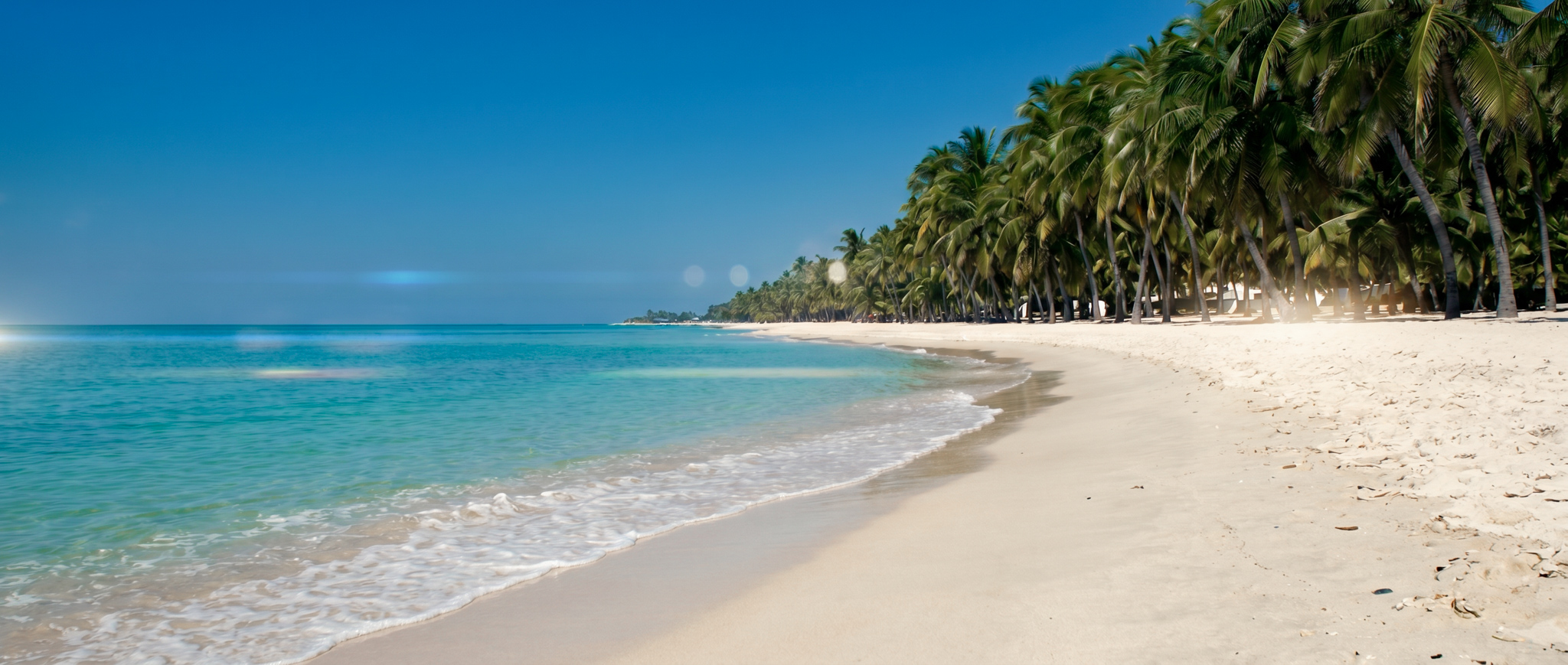
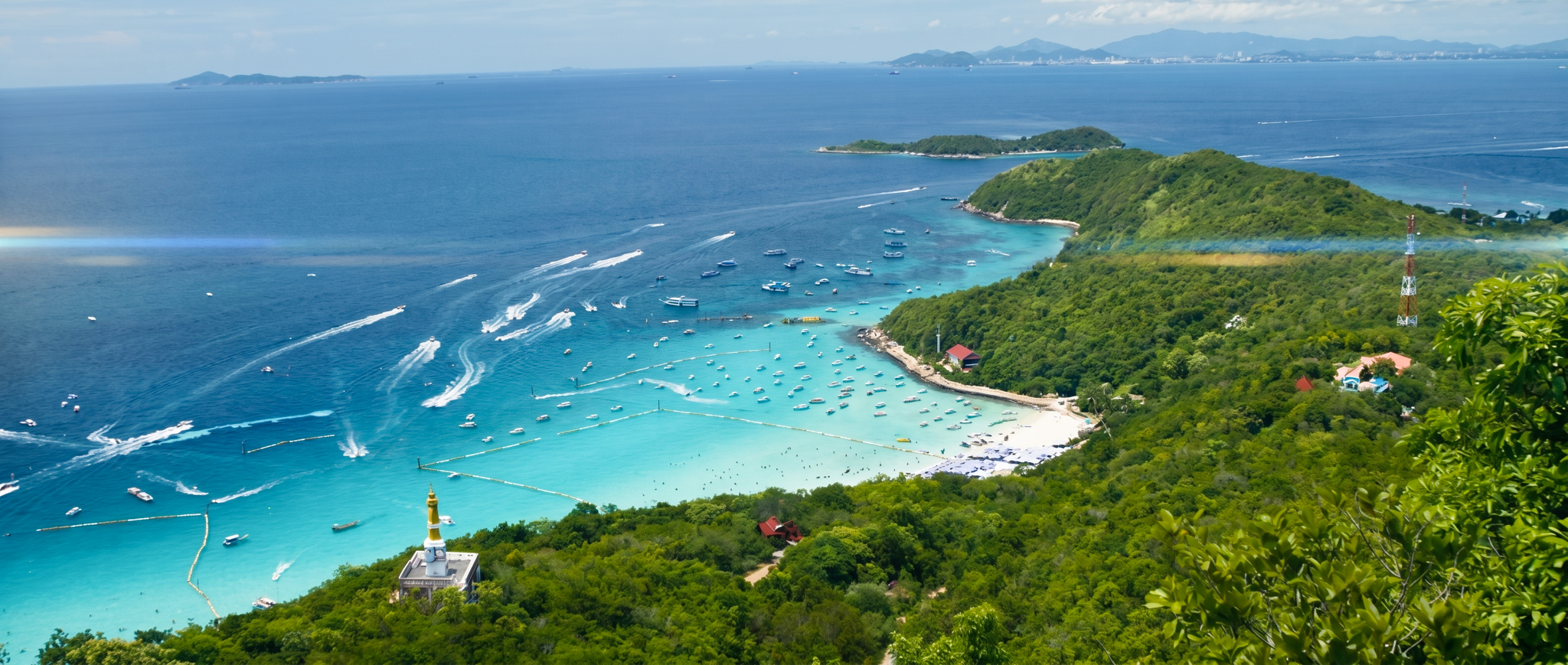
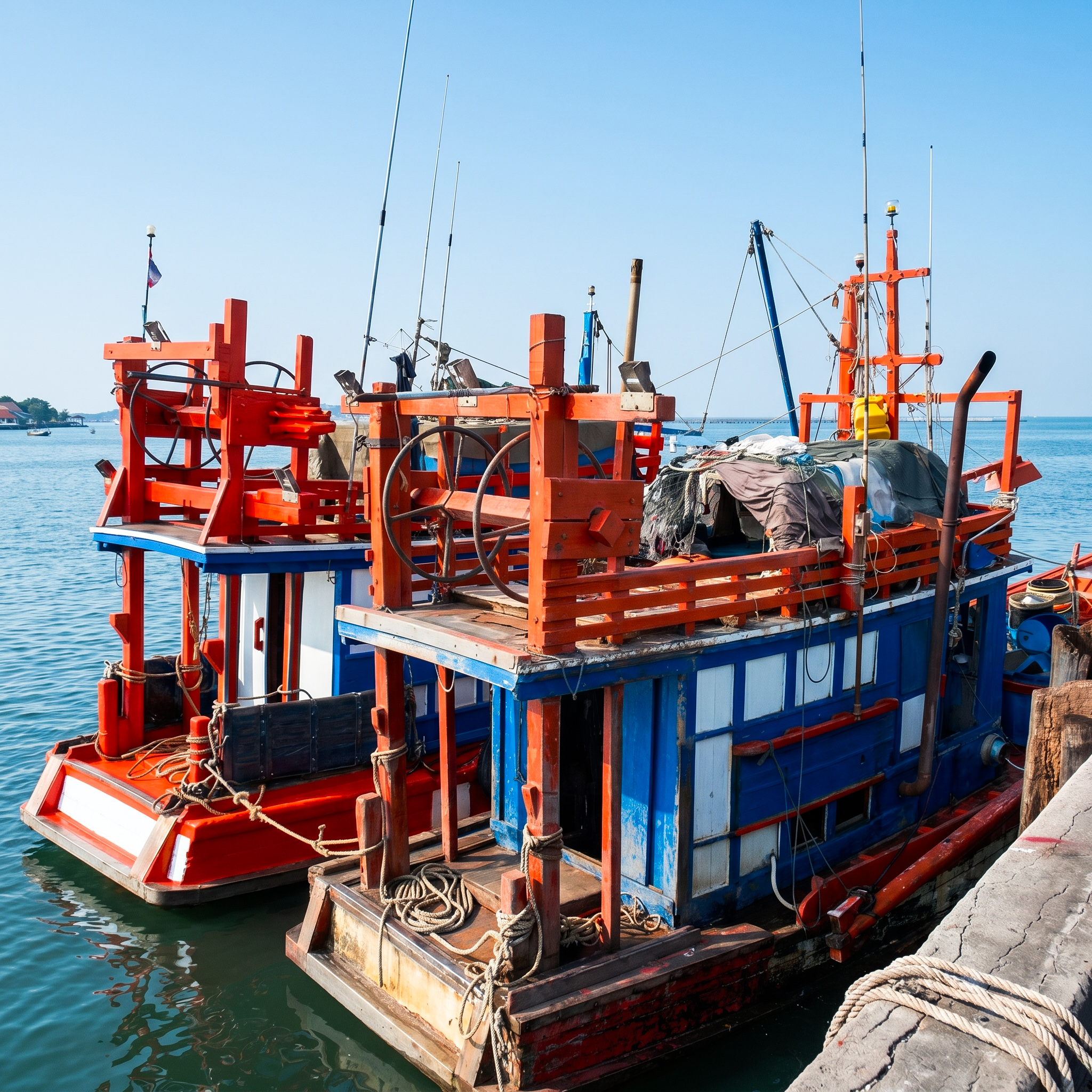
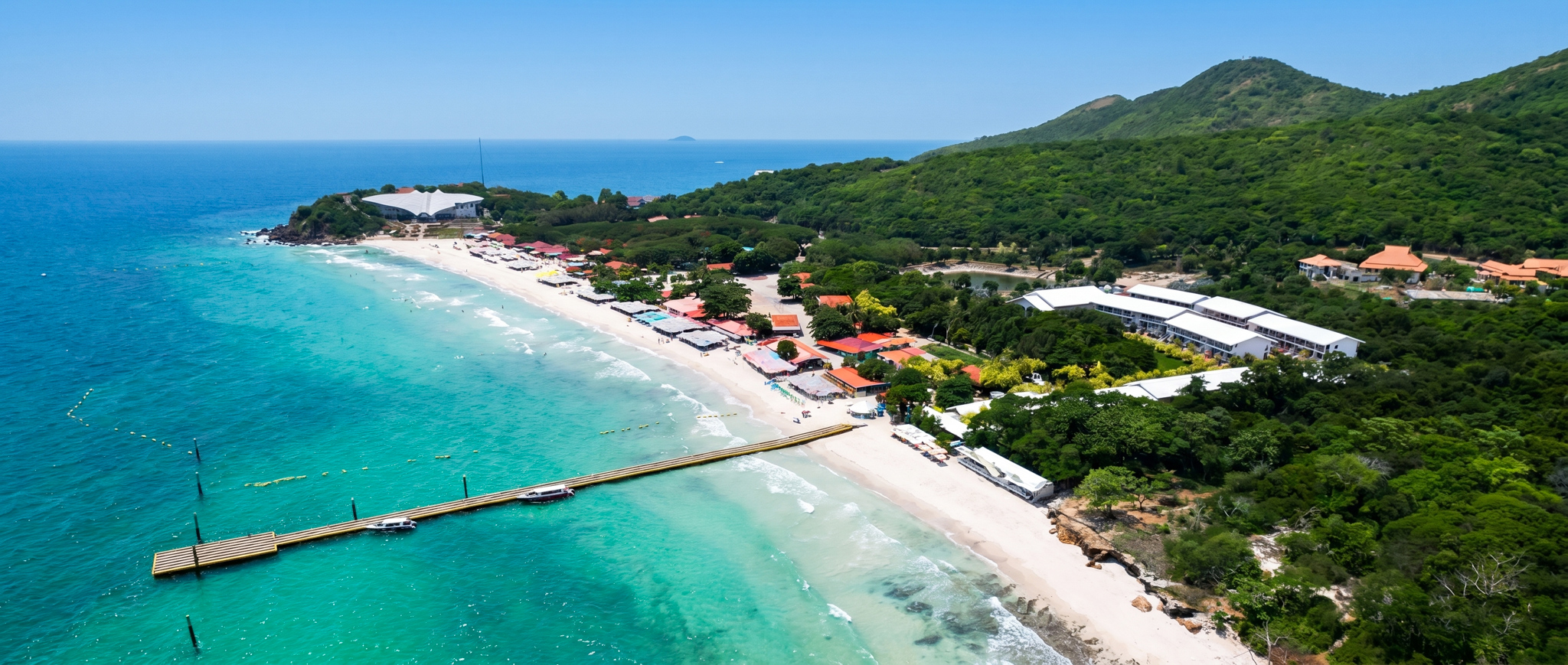
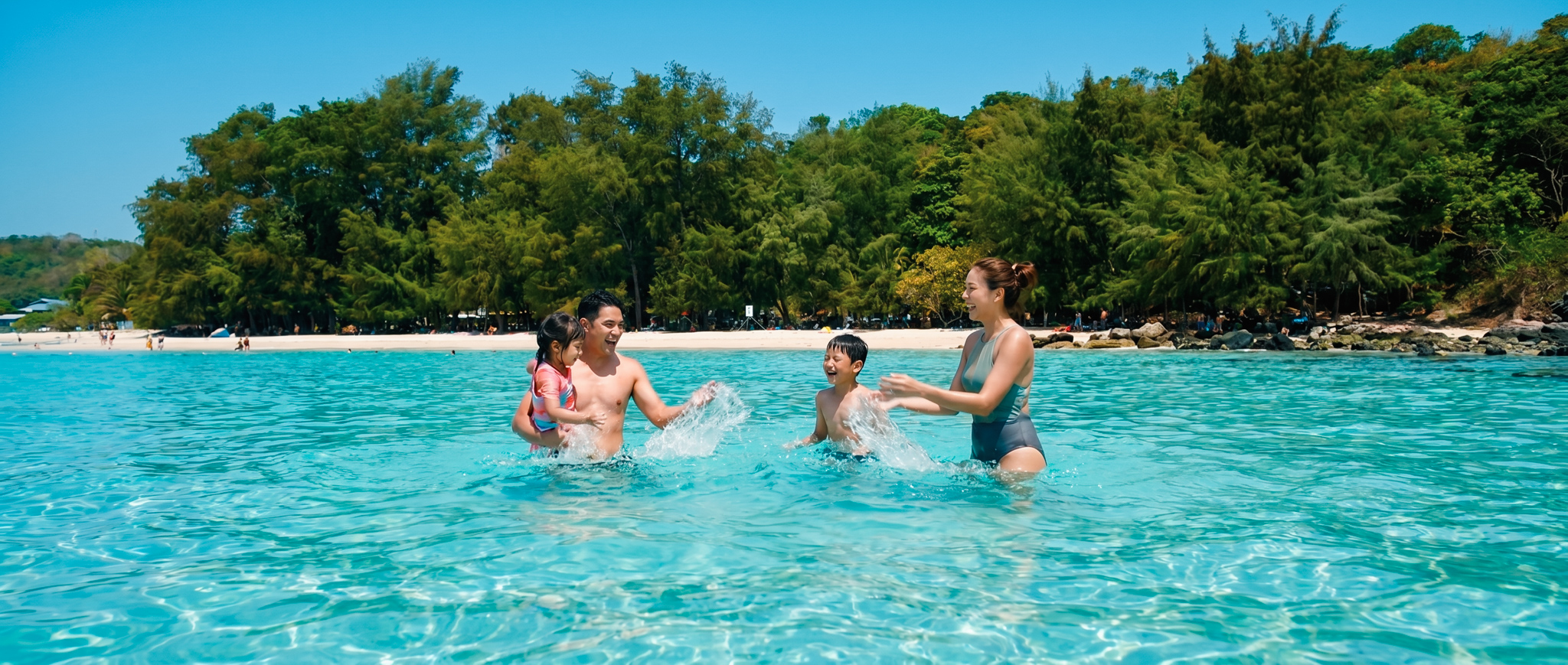
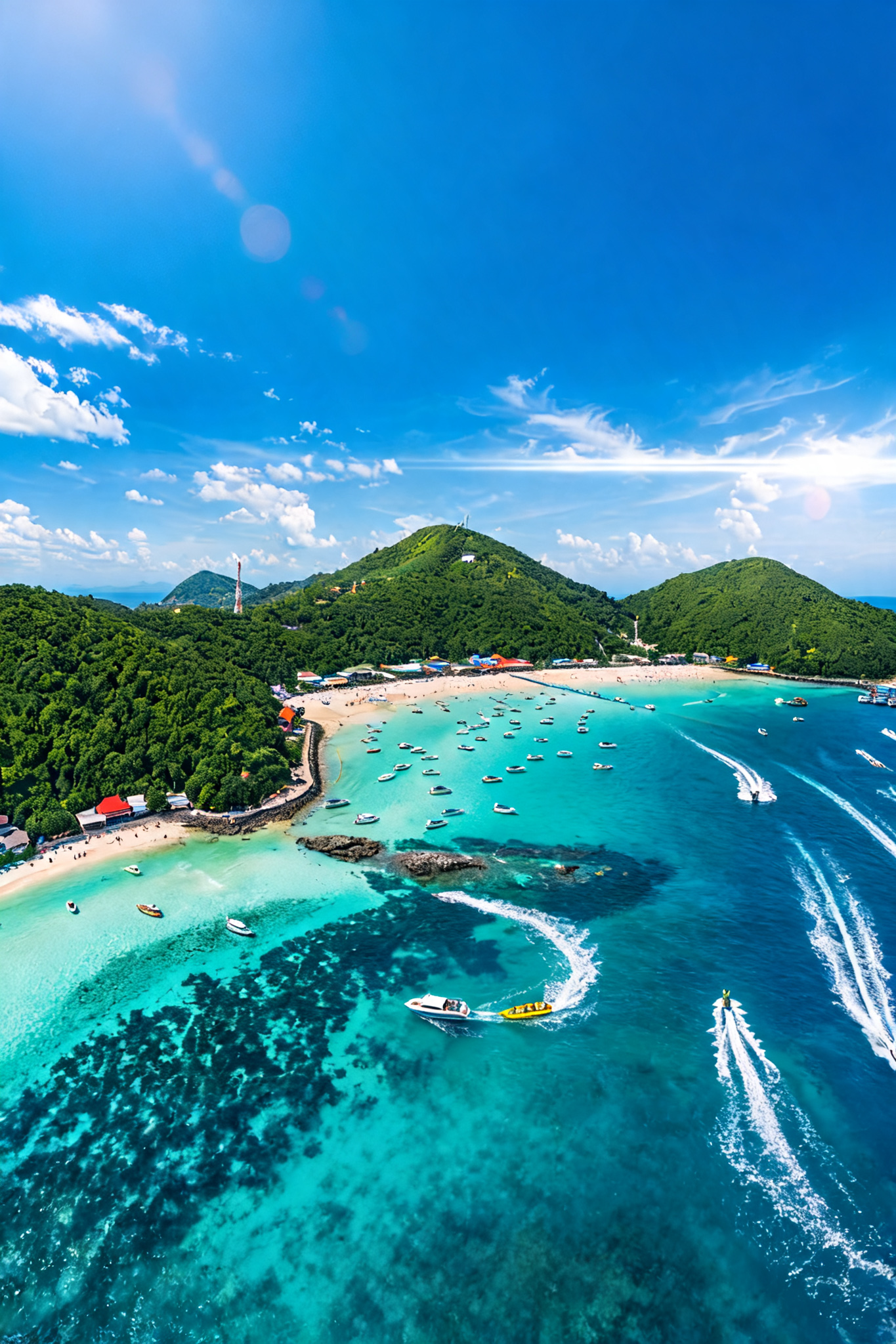
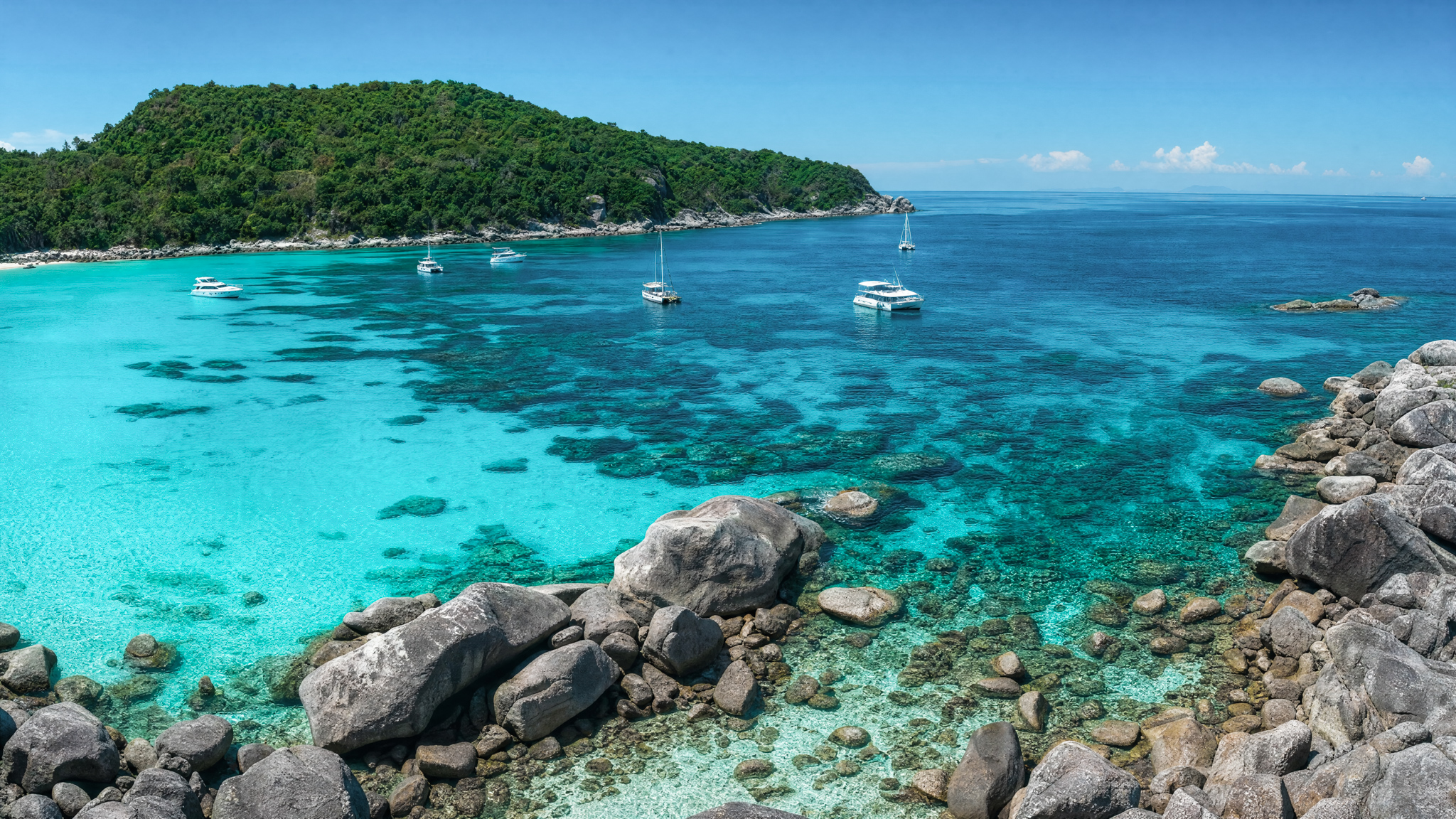
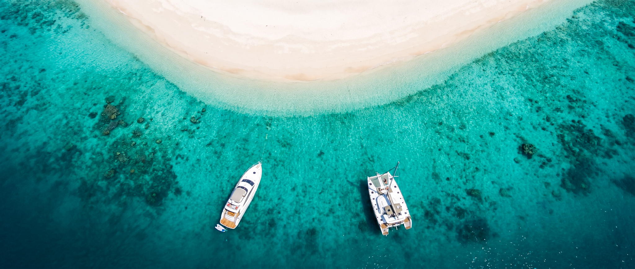
Beyond the city, the province opens. A coastline of 160 kilometres, two inhabited islands, ancient fishing villages, and a quietness that Pattaya's visitors rarely discover — and rarely forget.
Explore the Coastline